
Tweet that you've enrolled in this course
Share to Whatsapp
Post a Facebook message to say you've enrolled in this course
Email someone to say you've enrolled in this course
Disaster Mitigation and Spatial Arrangement
UPIx
Enrollment in this course is by invitation only
Description
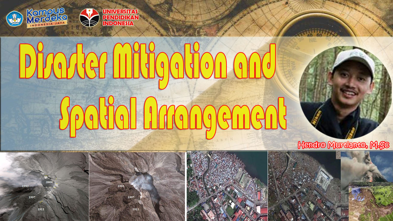
This course discusses concepts and theoretical studies on disasters and disaster mitigation. The theories and concepts of disaster that have been studied are then applied in Geographic Information Systems to produce data products and maps on hazards, vulnerabilities, capacities and disaster risks. The maps have an important role on disaster mitigation and management.
About This Course
- Basic Concept of Disaster and Classification
- Disaster Mitigation and Management
- Multi-Disasters Mapping with Geographic Information System
- Disaster and Spatial Arrangement
- Applied Disaster Mitigation at School
Credits: 2 Credits
Level: Intermediate
Requirements
Basic Geographic Information System.
Course Staff

HENDRO MURTIANTO
Department of Geography, Universitas Pendidikan Indonesia (http://www.upi.edu)
Jln. Dr. Setiabudhi 229, Bandung, INDONESIA
email : [email protected] ; [email protected]